NVSU stakeholders gain geospatial skills through training on GIS, QGIS Applications
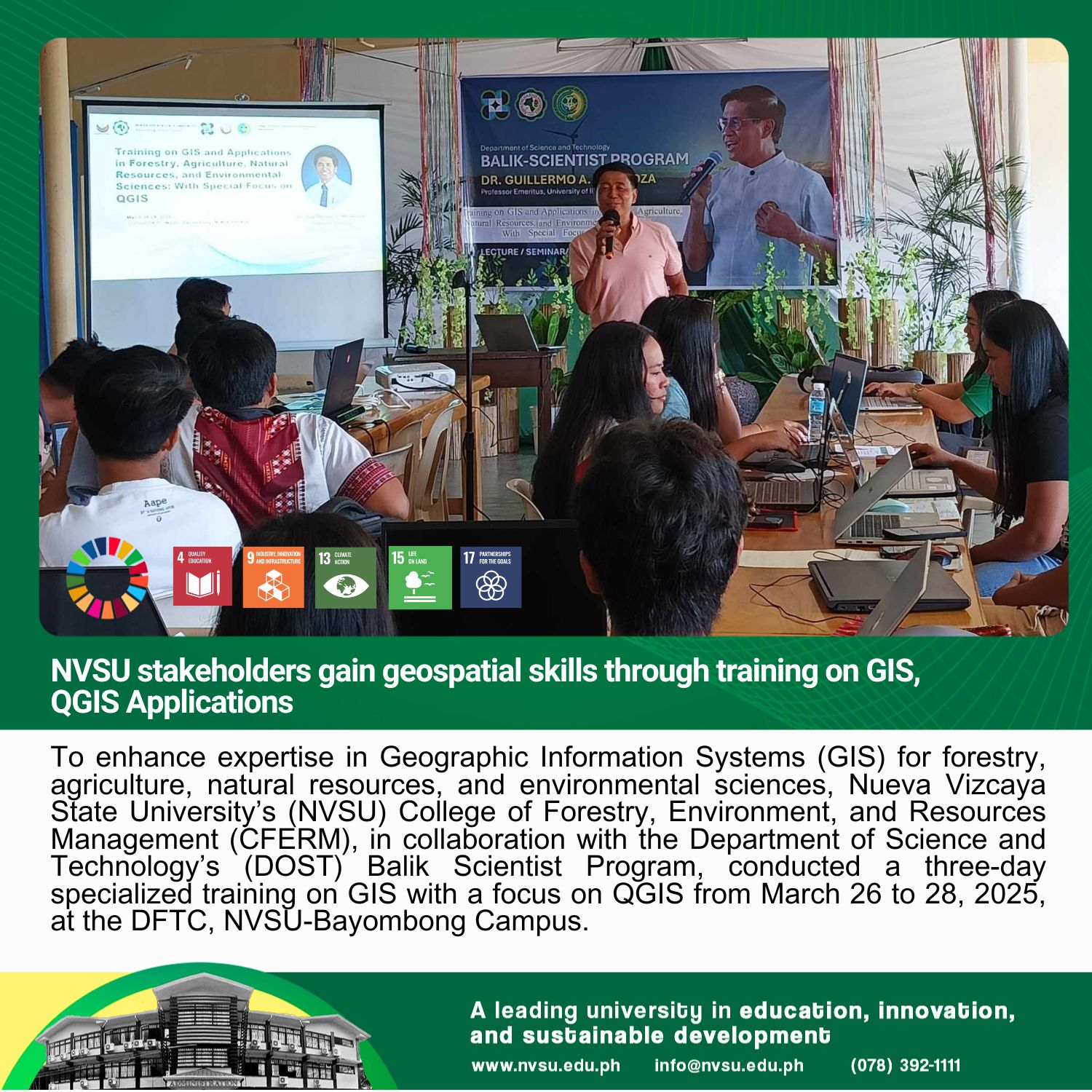
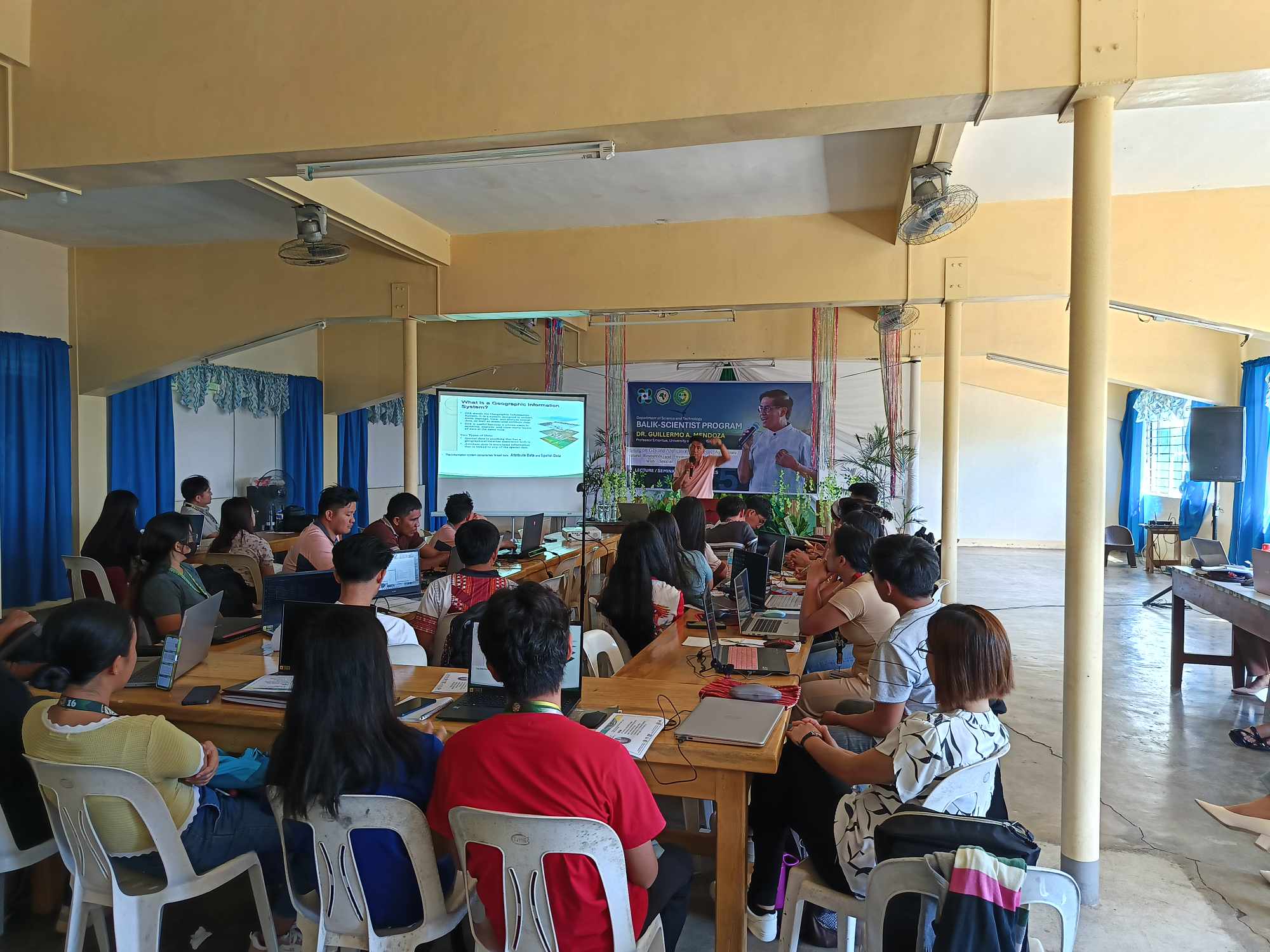
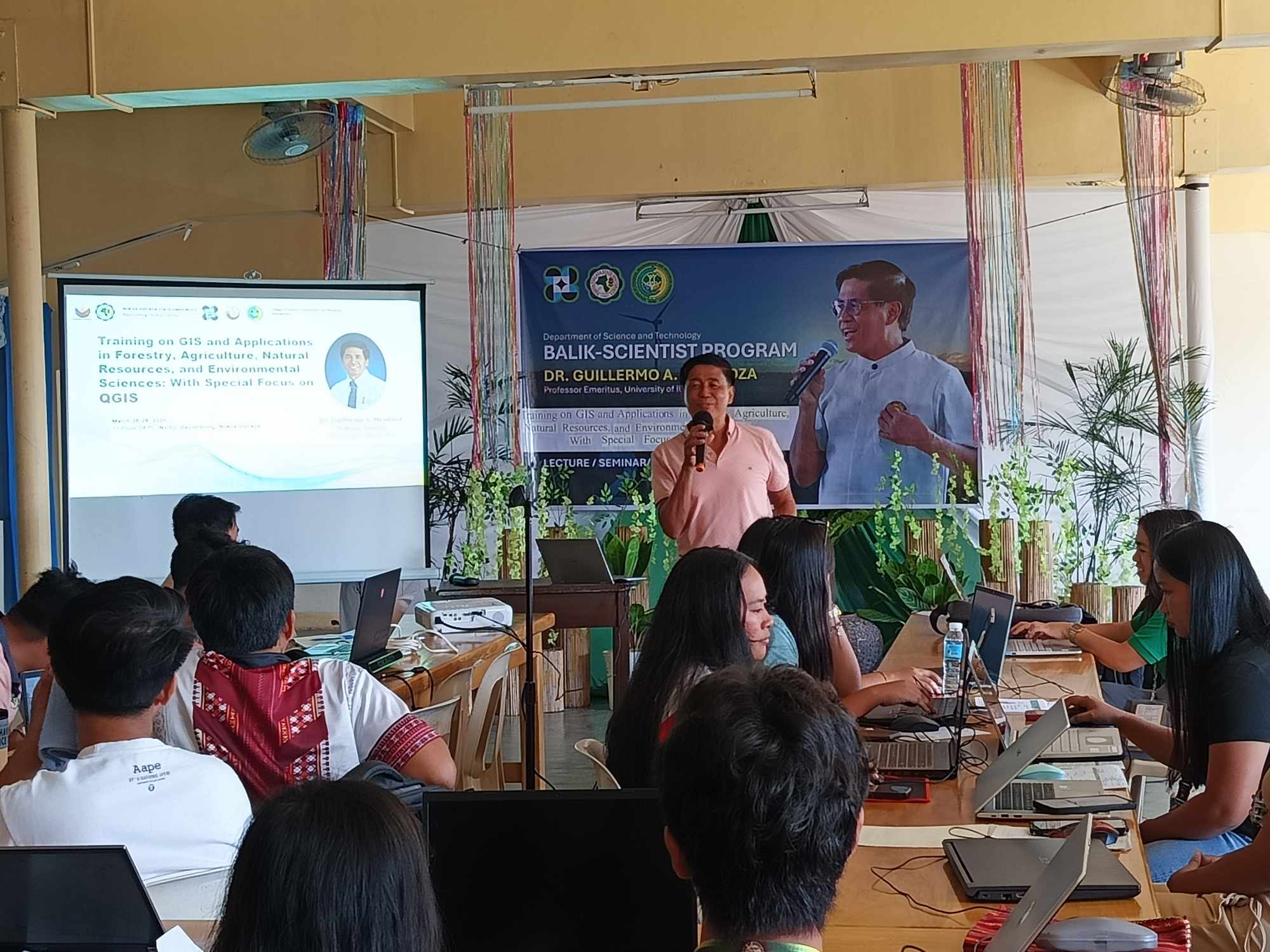
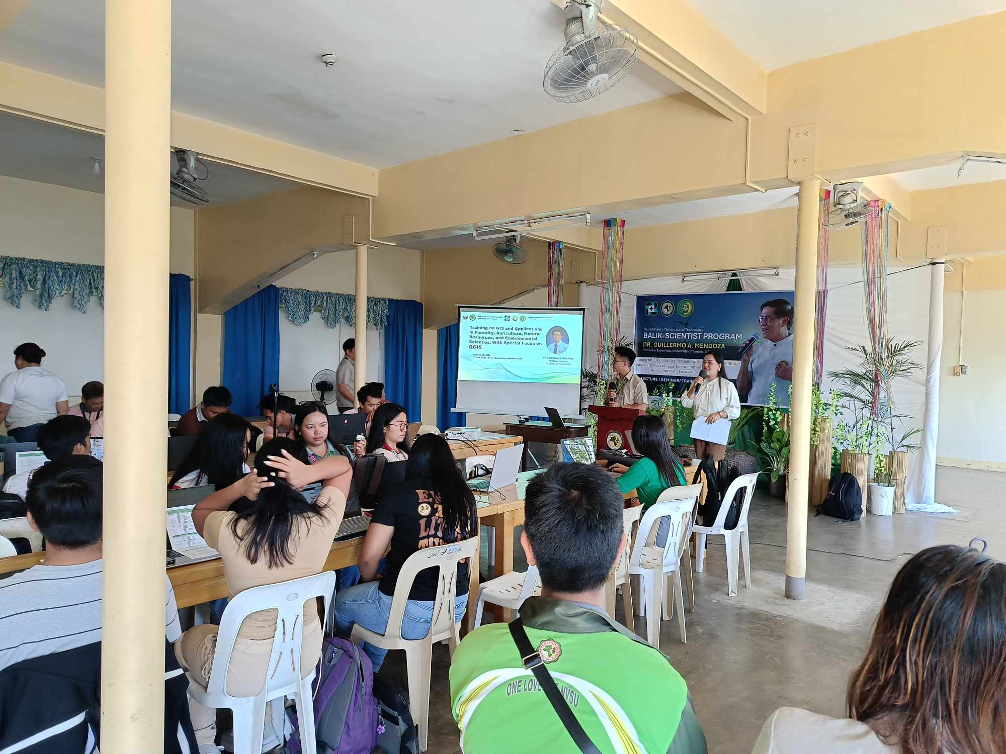
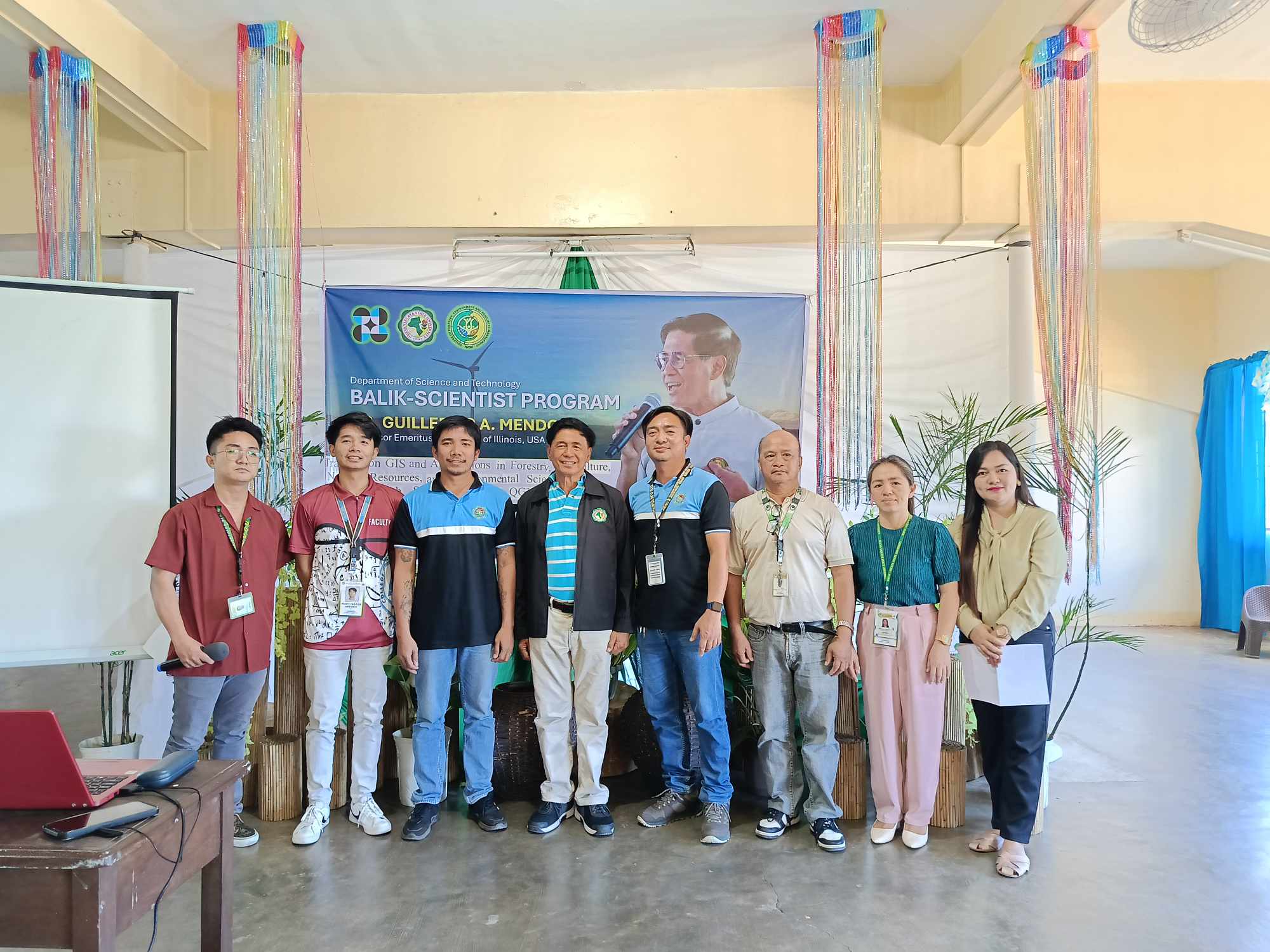
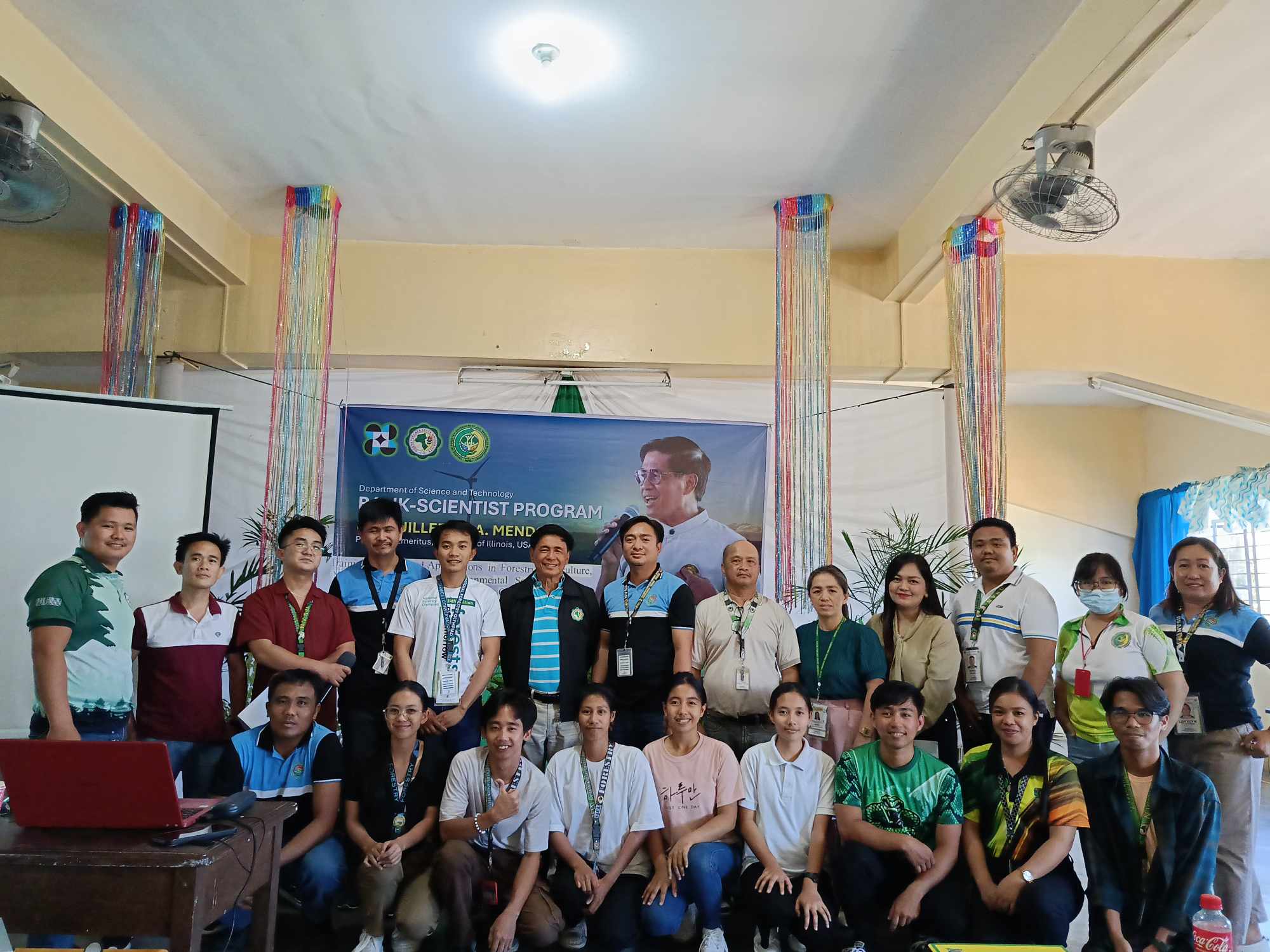
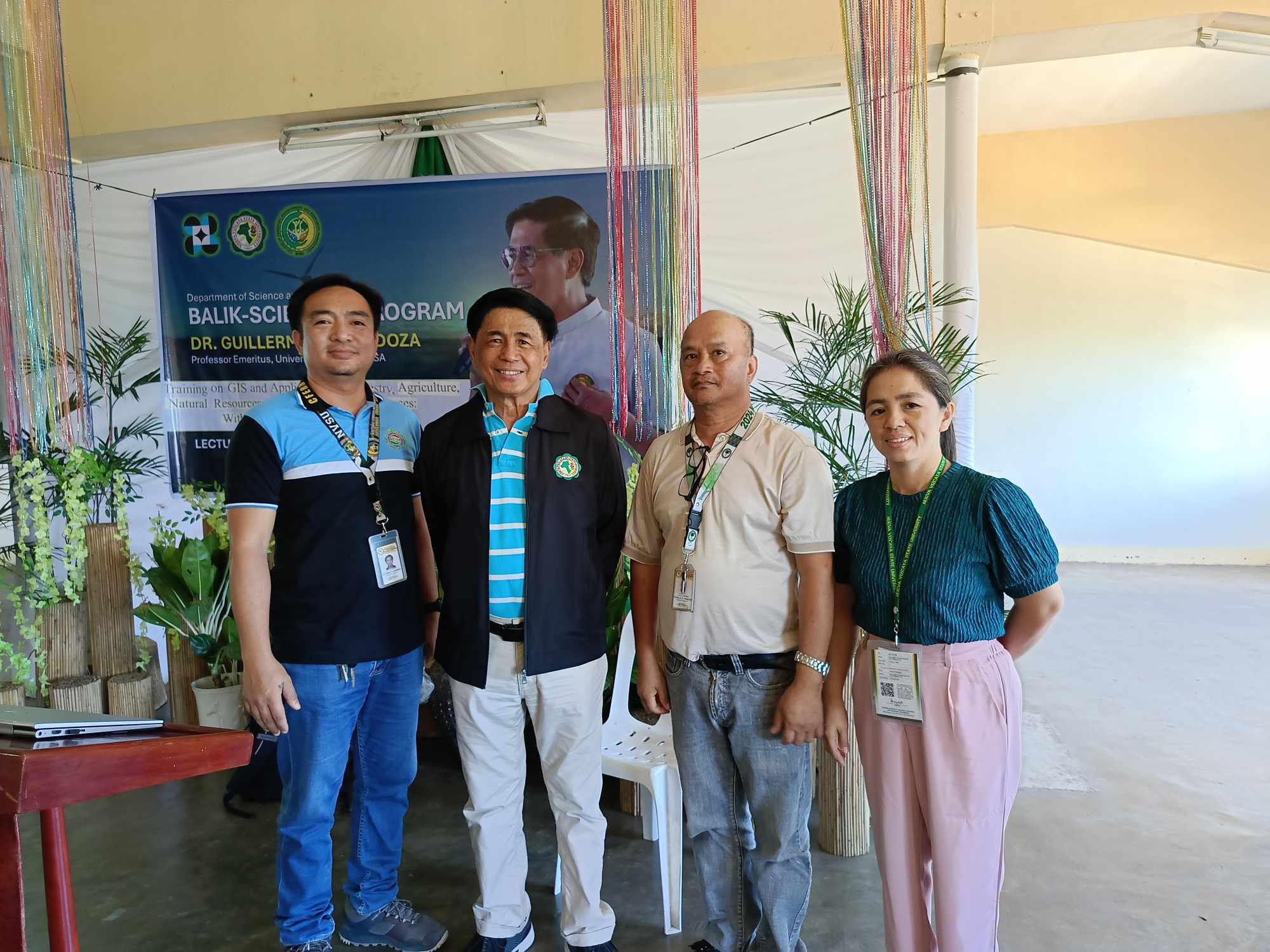
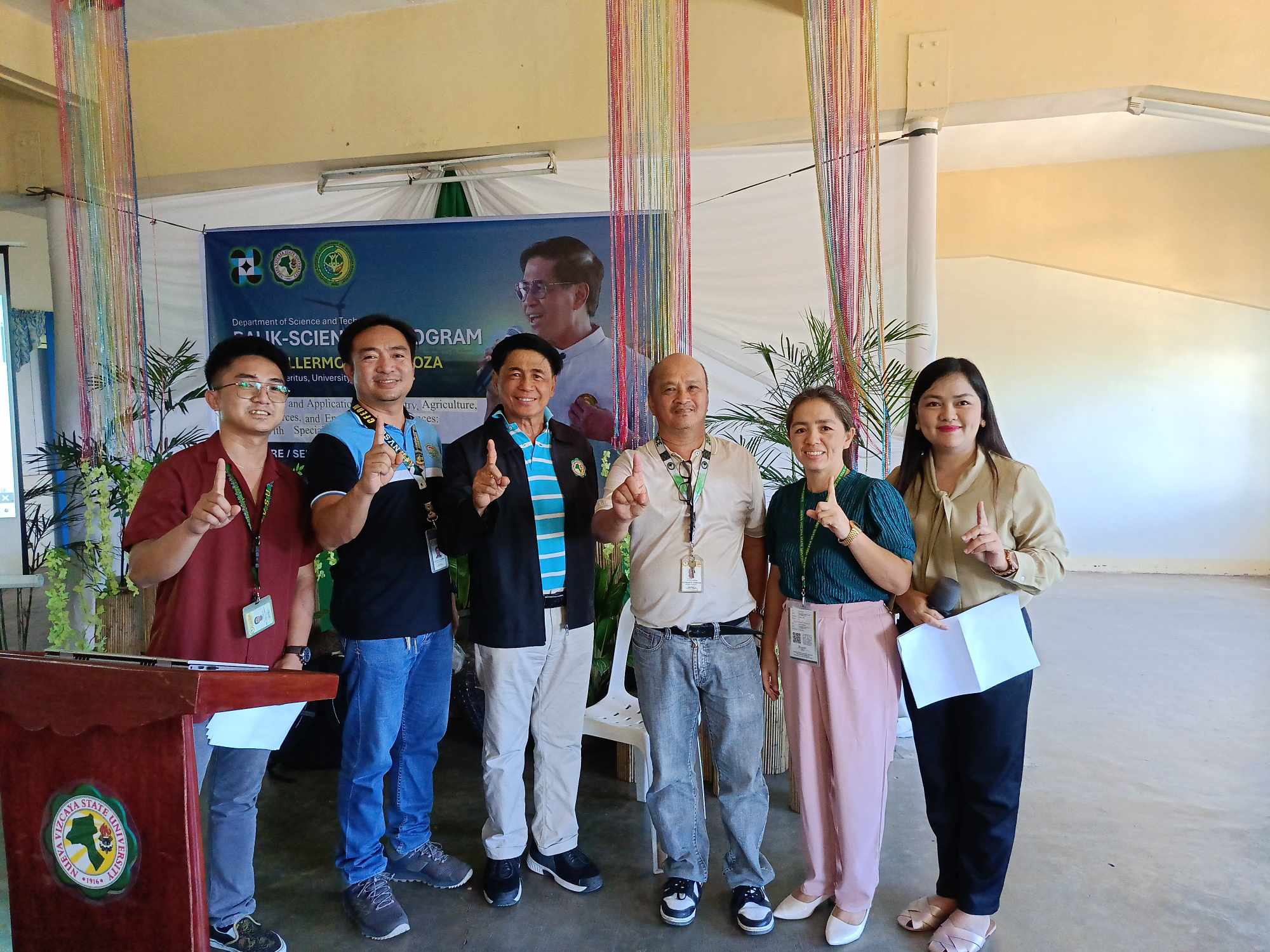
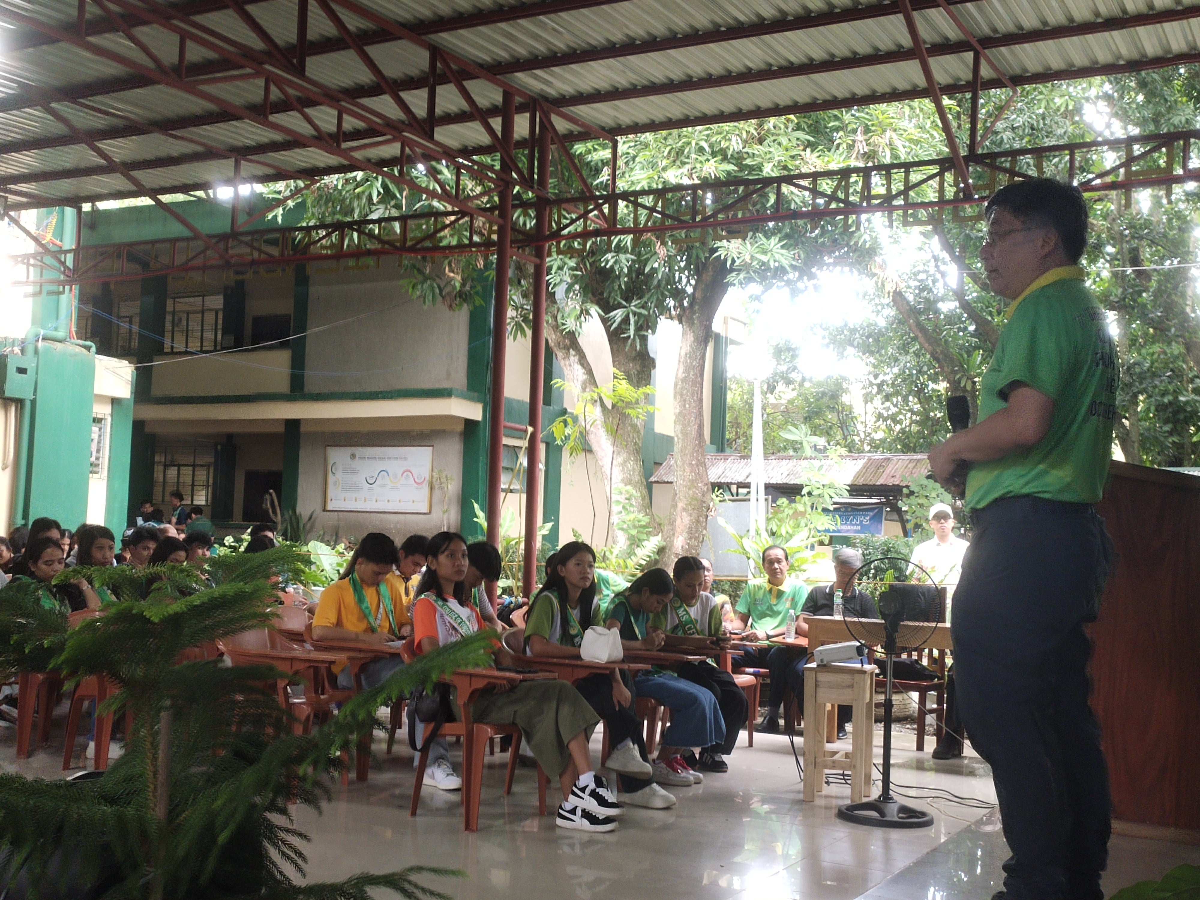
To enhance expertise in Geographic Information Systems (GIS) for forestry, agriculture, natural resources, and environmental sciences, Nueva Vizcaya State University’s (NVSU) College of Forestry, Environment, and Resources Management (CFERM), in collaboration with the Department of Science and Technology’s (DOST) Balik Scientist Program, conducted a three-day specialized training on GIS with a focus on QGIS from March 26 to 28, 2025, at the DFTC, NVSU-Bayombong Campus.
The training was facilitated by Dr. Guillermo A. Mendoza, Professor Emeritus at the University of Illinois, USA, who shared his extensive knowledge of geospatial technologies and their applications in research and resource management. Participants included faculty members, researchers, students, and professionals from various disciplines seeking to enhance their technical skills in spatial data analysis.
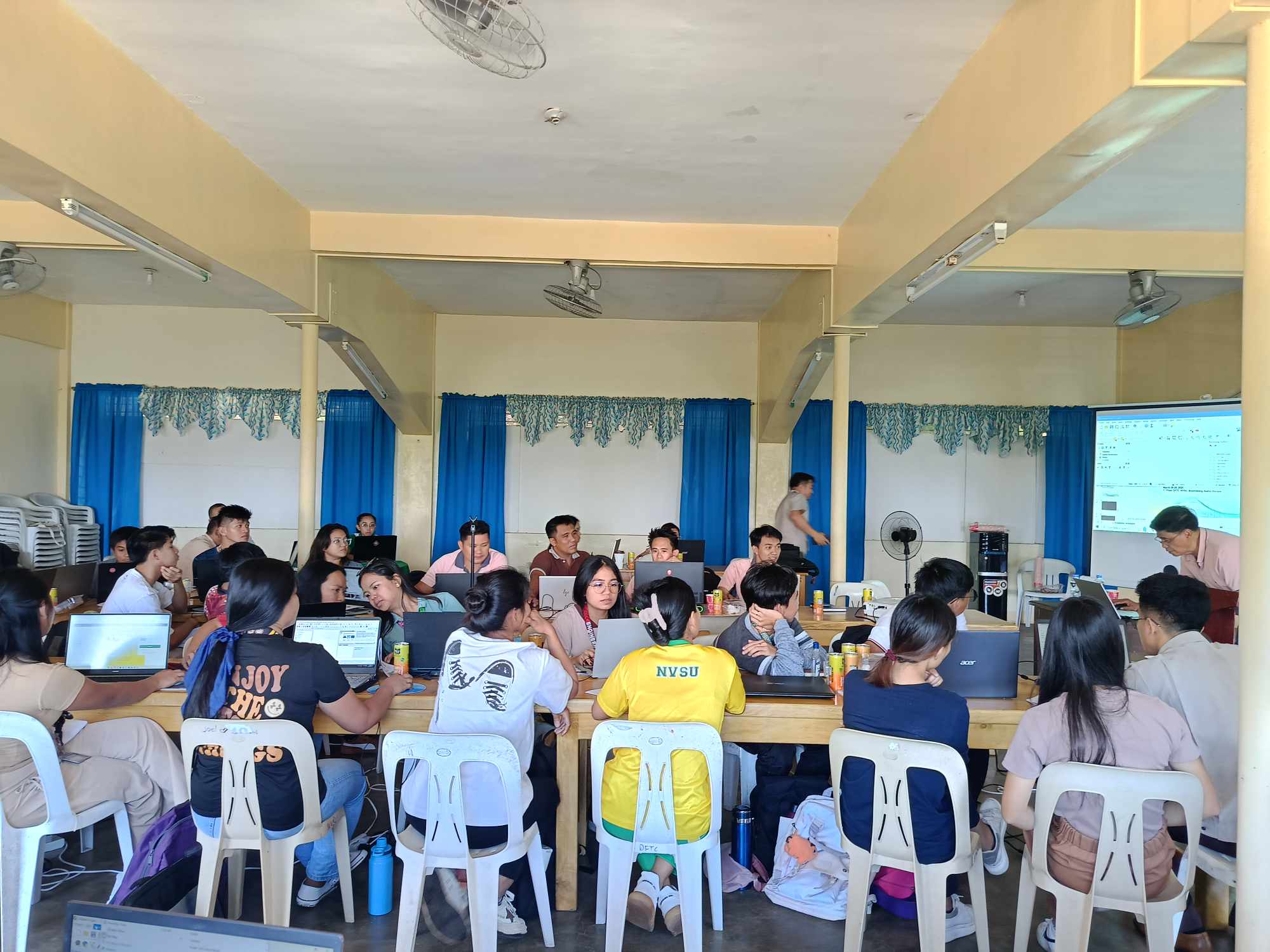
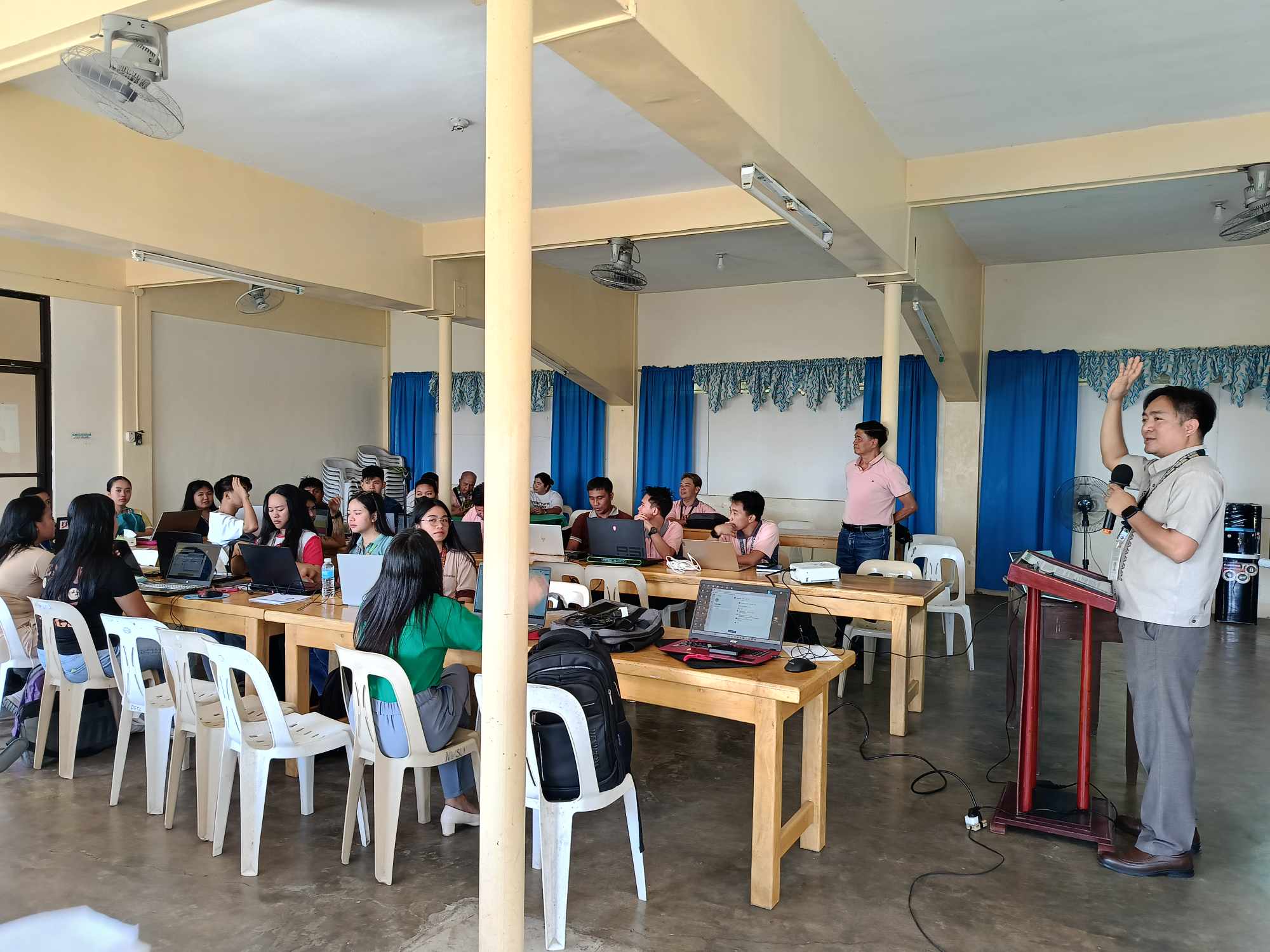
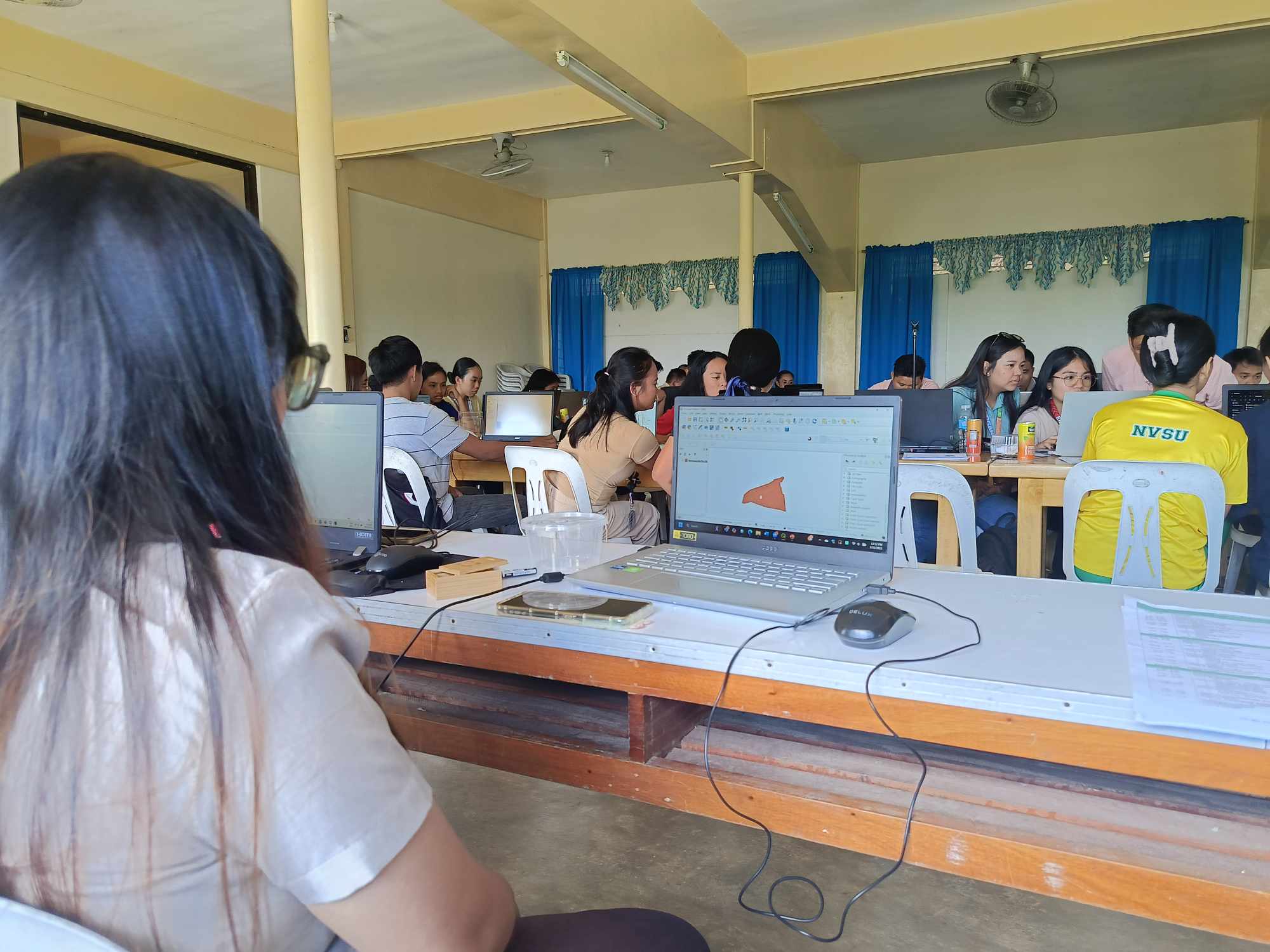
The training program was designed to provide both fundamental and advanced knowledge on GIS, ensuring that participants gained hands-on experience in using QGIS, a free and open-source GIS software.
On Day 1, Dr. Mendoza introduced the participants to GIS fundamentals and the QGIS interface, covering essential tools such as navigating the map canvas, symbology, and classifying vector data. Participants were also given a chance to explore vector attribute data, labels, and classification techniques, which are crucial for managing spatial datasets.
Day 2 focused on advanced spatial data processing, where attendees learned about vector analysis, raster data manipulation, and plugin management. Key sessions covered terrain analysis, raster-to-vector conversion, and the use of QGIS plugins for enhanced functionality. These topics provided insights into how GIS can be applied to land use planning, environmental management, and resource assessment.
On Day 3, the training culminated with real-world applications of GIS in forestry and agriculture. Participants explored GRASS GIS tools, learned about georeferencing maps, digitizing and updating forest stands, systematic sampling designs, and crop suitability analysis. The final session introduced vulnerability analysis, highlighting GIS applications in disaster risk reduction and climate resilience planning.
With this successful initiative, NVSU continues to advance its commitment to capacity-building in geospatial technologies, ensuring that its stakeholders remain at the forefront of sustainable environmental and resource management.
Gallery:

